GEOGRAPHIC INFORMATION SERVICES
Geographic Information Systems (GIS) technologies are transforming all industries. BOYLE utilizes leading-edge GIS technologies and methodologies to benefit our public and private clients by offering solutions not available elsewhere. Our geospatial analysts work daily with our engineers and scientists to offer aerial photography and video, raw image data processing, analytical tools, 3D visualization, elevation mapping products, earthwork material quantifications, web map services, and more. This approach enhances all of our core services in environmental assessment/ remediation, geotechnical engineering, construction quality assurance, and infrastructure condition assessment.
Public agencies appreciate our “ABOVE & beyond” approach while utilizing our GIS toolsets to map and inventory critical public assets that underpin the financial viability of many political entities. More frequent, custom-collected aerial orthophotography of rapidly changing areas and detailed asset cataloging is essential to developing the “big picture” information essential to managing population growth and preserving our past.












-
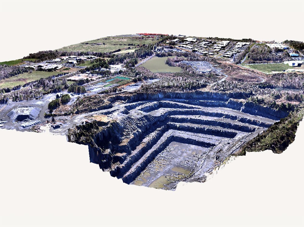
3D Pixel Reconstruction
3D Pixel Reconstruction
-
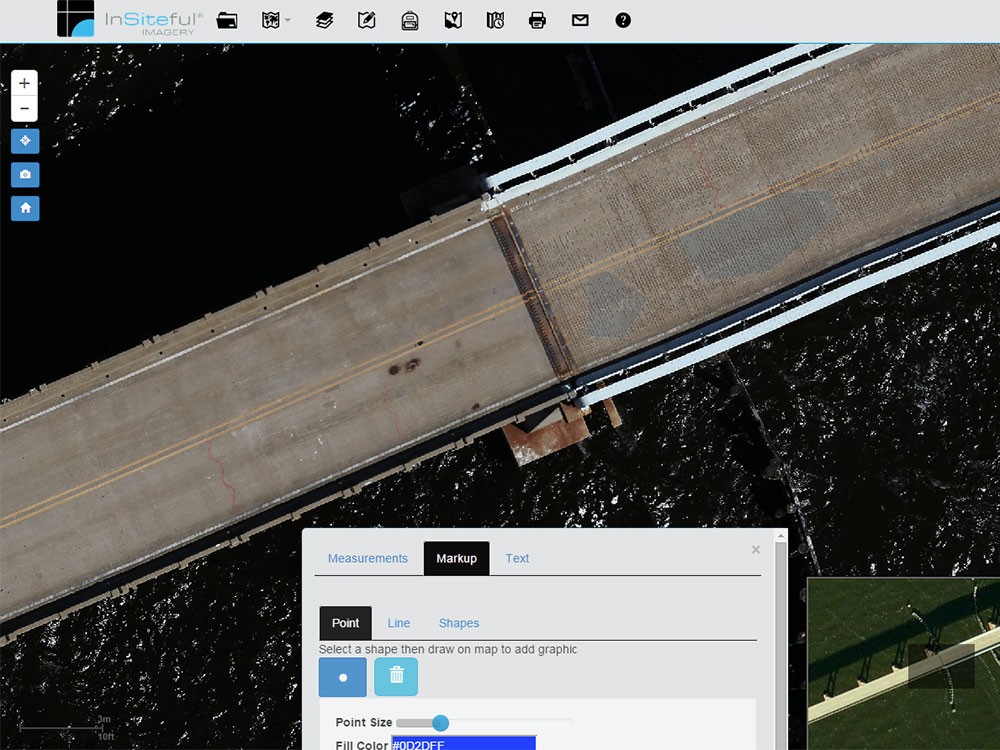
Aerial Photo Feature Extraction
Aerial Photo Feature Extraction
-
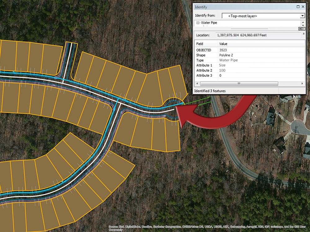
Asset Visualization
Asset Visualization
-
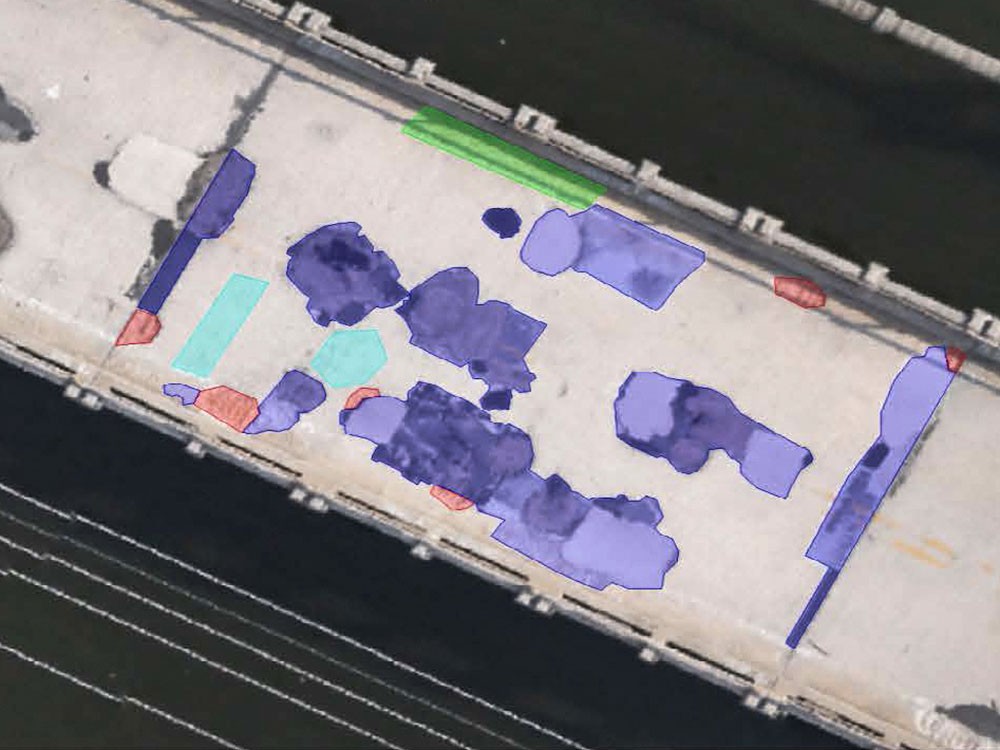
Bridge Deck Reporting
Bridge Deck Reporting
-

-
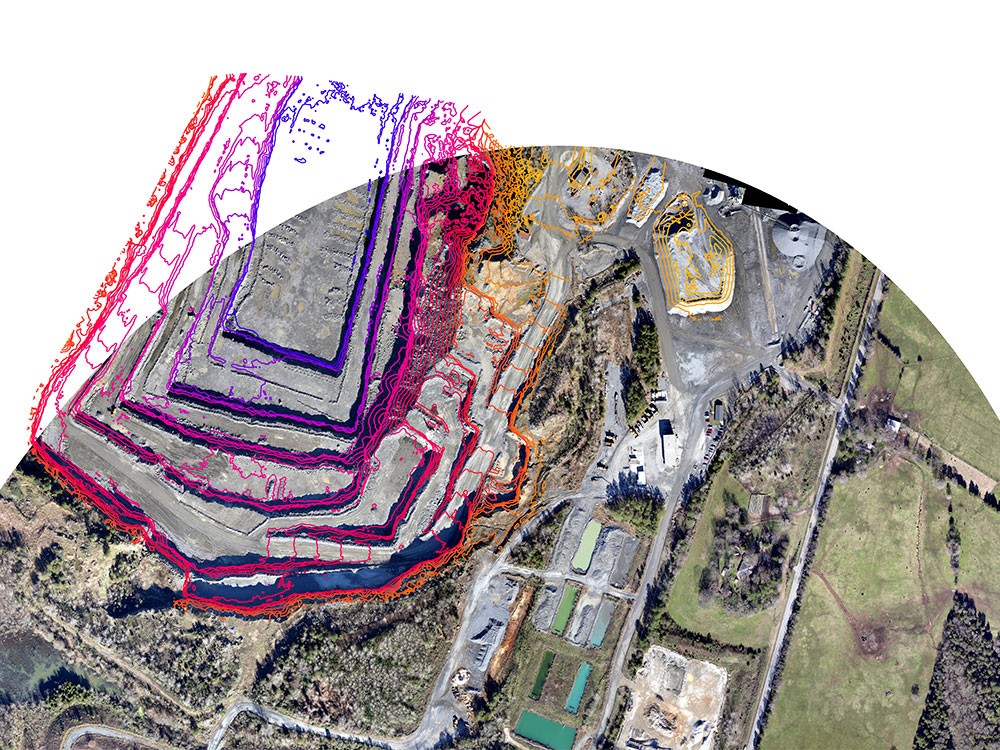
Contours
Contours
-
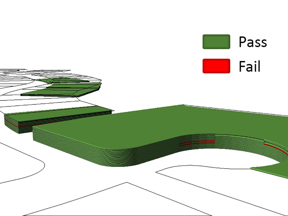
Data Visualization Soil Compaction Pass & Fail
Data Visualization Soil Compaction Pass & Fail
-
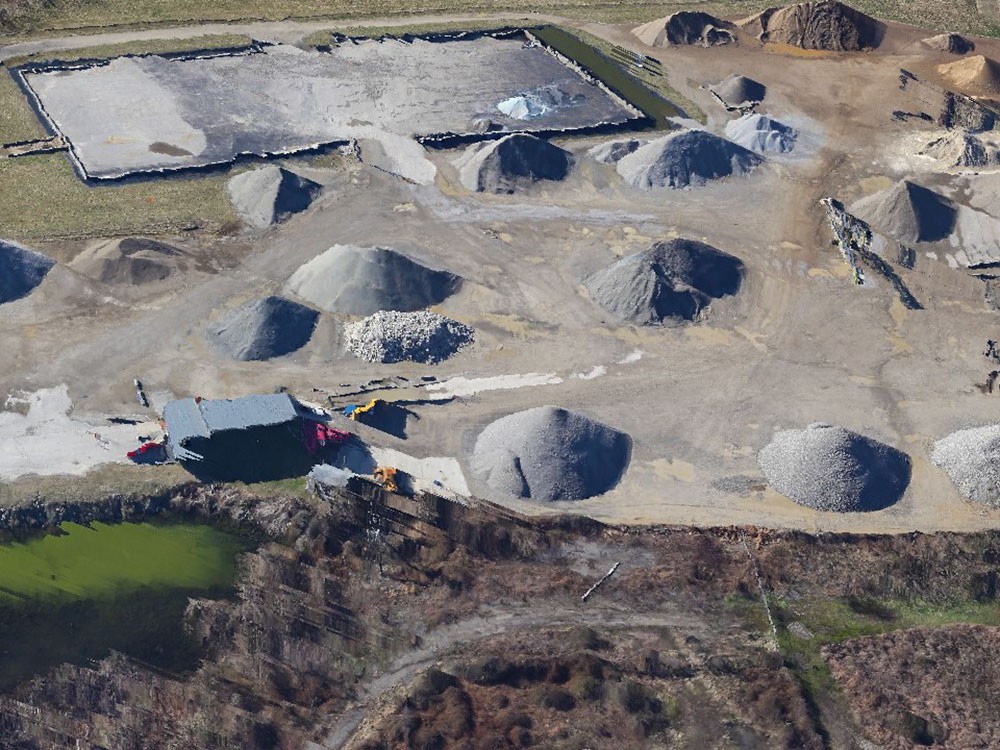
High Resolution 3D Pixel Reconstruction
High Resolution 3D Pixel Reconstruction
-
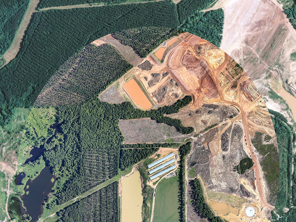
High Resolution Orthophoto
High Resolution Orthophoto
-
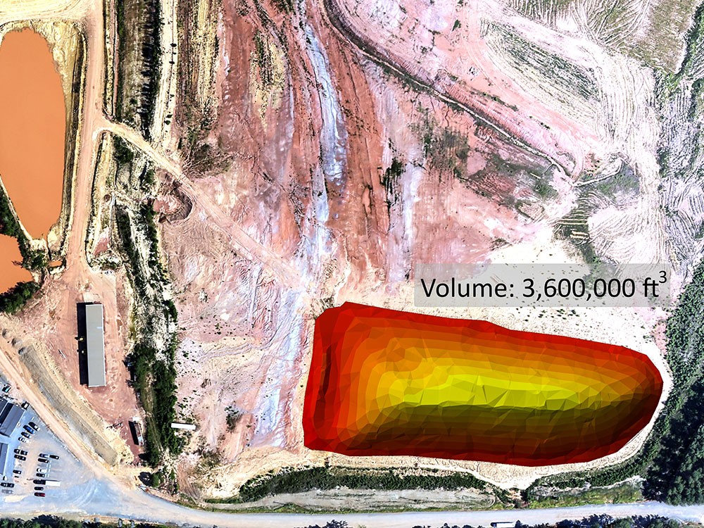
Volumetrics
Volumetrics
Boyle Consulting Engineers 2016. All Rights Reserved | Website Designed & Developed by Adhesive Designs & Layers Theme